OUR TECHNOLOGY
DRG employs only the highest level of technology, software and equipment because we know how crucial it is for our clients to have the most accurate measurements and data to make their residential, commercial or municipal development project a success.
Here are just a few examples of the technology we have access to:
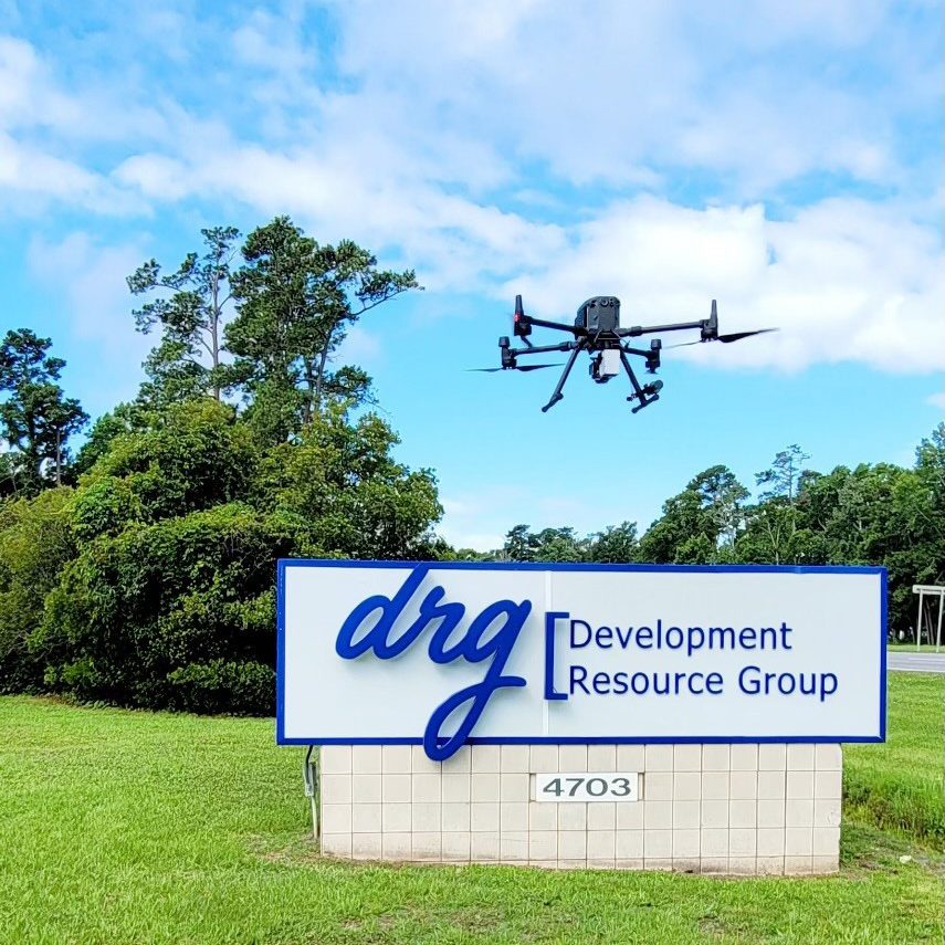
Photogrammetry and LIDAR using an RTK Drone
We’re one of the few companies in the area to utilize photogrammetry and LIDAR like this. This is localized for your specific site and allows survey grade data collection.
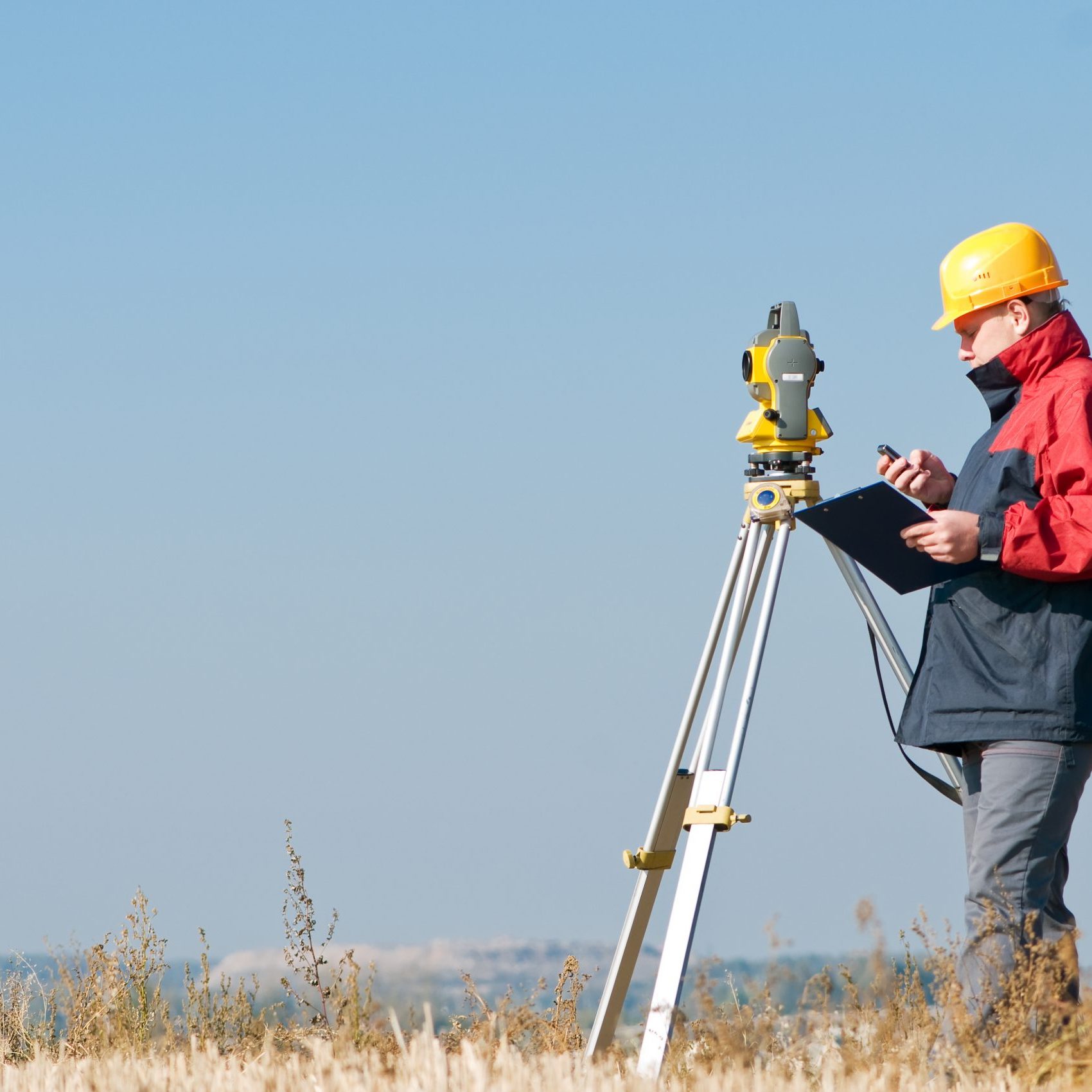
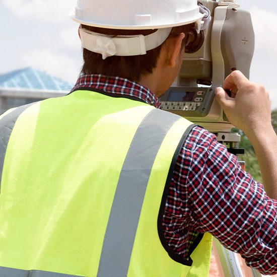
Cloud-Based Robotic Survey Equipment
The ability to have this equipment on-hand means we can provide office to field communication in real time. And that added advantage improves project schedules and reduces the time contractors have to wait for field clarification.
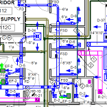
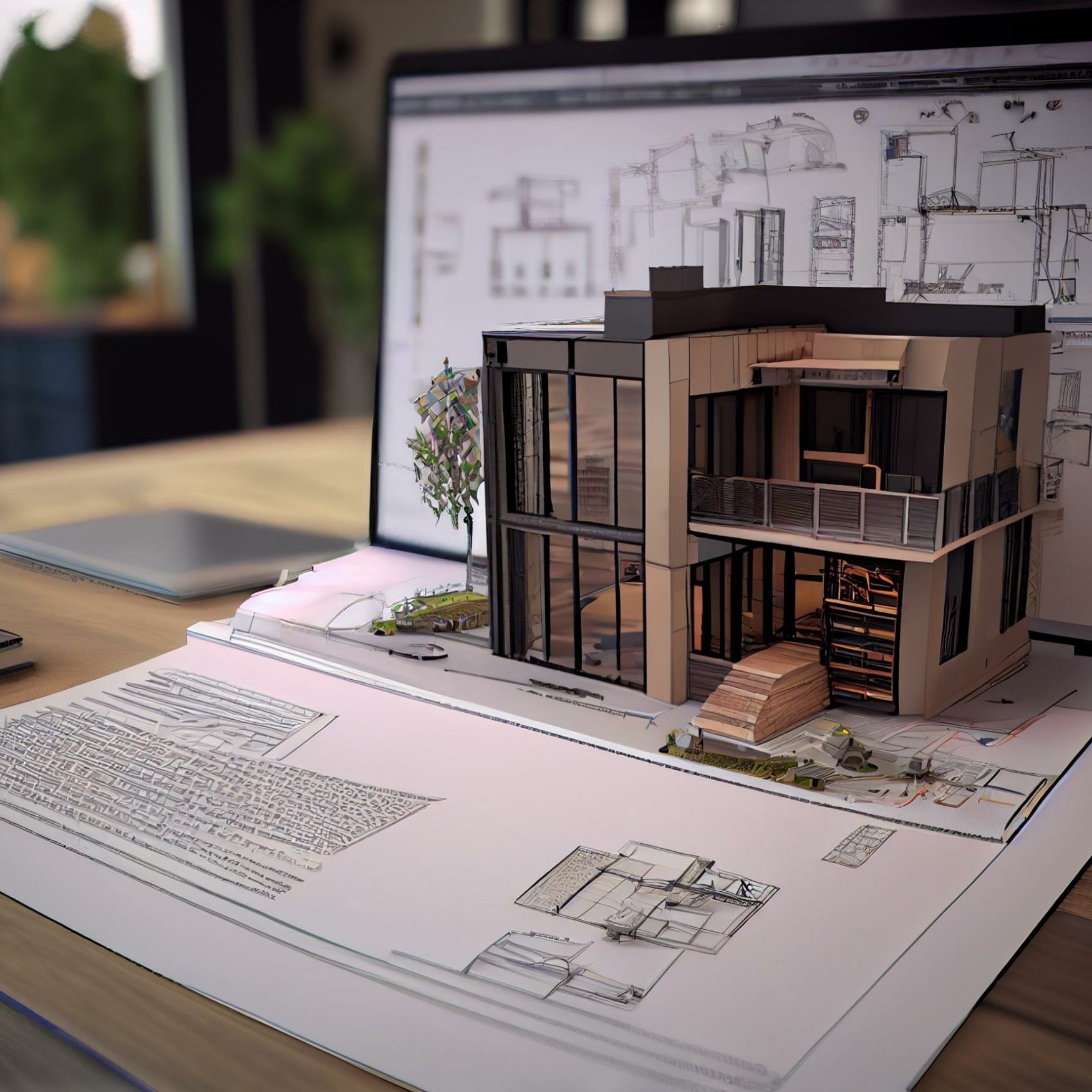
3-D/BIM Modeling
We’ll often present these detailed visuals to open up the necessary conversations with owners and contractors for grading schemes.
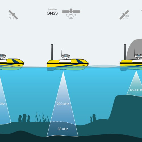
Bathymetric Surveys
We conduct these surveys using a remote controlled boat with localization to monitor sediment accumulation in stormwater facilities, marinas, and more.

